Ischyrhiza
Ischyrhiza is an extinct genus of sclerorhynchoid ray from the Late Cretaceous (Cenomanian-Maastrichtian).

Uncredited · via Wikipedia/Commons. May be a photograph of a specimen, or an artist’s reconstruction — an interpretation of a skeleton, since colour and soft tissue are almost never preserved.
On record
Recorded, not inferred- Sits inside
- SclerorhynchidaePBDB
- Diet
- carnivorePBDB, for Chondrichthyes
- Life habit
- nektonicPBDB, for Chondrichthyes
- Motility
- actively mobilePBDB, for Chondrichthyes
Time the record covers
At least 47 million years on record.
The record covers at least 106.3 Mya to 59.24 Mya. No occurrence read is dated outside 113.2 Mya to 56 Mya.
149 occurrences of Ischyrhiza on record, most of them in the Late Cretaceous. Bar height is expected occurrences, not a count: each fossil is spread across the span it is dated to, so a tall narrow bar means tight dating and a low wide one means loose.
When
149 occurrences- Early Cretaceousunder 1%
- Late Cretaceous98%
- Paleoceneunder 1%
These are dates about fossils, not the animal: the record can only begin after it arose and end before it died out, so either end may reach further. Shares are expected occurrences: a fossil dated to a span is counted partly in each period it straddles. More on what this infers.
Found in
49 formations
- Mesaverde Formation15
- Navesink Formation · Monmouth Group13
- Judith River Formation · Montana Group8
- Quiriquina Formation · Arauco Group7
- Carlile Shale Formation · Colorado Group6
- Foremost Formation · Belly River Group6
Loading coastlines…
The named rock units Ischyrhiza has been recovered from, largest first. Drawn where the rock is now, not where it formed. 25 further formations hold fewer occurrences each and are not listed. 19 occurrences have no formation on record, which is common for older literature.
Ischyrhiza and its relatives
Late CretaceousWhere Ischyrhiza and its relatives were recorded in the Late Cretaceous.
Found in the same rock
1,240 taxa- Squalicorax kaupi51 sites
- Scapanorhynchus texanus44 sites
- Archaeolamna kopingensis41 sites
- Cretalamna appendiculata34 sites
- Odontaspis aculeatus33 sites
- Squalicorax pristodontus31 sites
- Hybodus29 sites
- Myledaphus bipartitus26 sites
- Protoplatyrhina renae26 sites
- Crocodylia24 sites
- Carcharias samhammeri23 sites
- Meristodonoides montanensis23 sites
- Texatrygon avonicola23 sites
- Carcharias holmdelensis22 sites
- Cretorectolobus olsoni22 sites
- Hadrosauridae22 sites
- Squatina (Cretascyllium) hassei21 sites
- Brachyrhizodus wichitaensis20 sites
- Paralbula casei19 sites
- Rhombodus levis17 sites
- Teleostei17 sites
- Ptychotrygon triangularis16 sites
- Rhinobatos casieri16 sites
- Scapanorhynchus raphiodon16 sites
The Paleobiology Database records 136 sites for Ischyrhiza, and this reads all of them. The number is how many of those sites it was catalogued from too. The 24 sharing the most are listed.
This is not a list of everything alive at the time. It is only what has come out of the same ground as this animal and been written down.
Entered from
83 references- A new selachian fauna from the late Campanian of Wyoming (Teapot Sandstone Member, Mesaverde Formation, Big Horn Basin)15
- Contribution a l'étude des sélaciens du Groupe Monmouth (Campanien-Maestrichtian) du New Jersey10
- Sclerorhynchid teeth (Neoselachii, Sclerorhynchidae) from the Late Cretaceous of the Quiriquina Formation, central Chile6
- Paleoecology of the Delaware Valley region. Part II: Cretaceous to Quartenary6
- A guide to fossil sharks, skates, and rays from the Chesapeake and Delaware Canal area, Delaware6
- A new selachian fauna from the Judith River Formation (Campanian) of Montana6
- Review of two marine vertebrate assemblages from the Arauco Basin (central Chile) reveals diversity changes throughout the Maastrichtian4
- Ischyrhiza (Chondrichthyes: Pristidae) from the Upper Cretaceous Foremost Formation (Campanian) of Alberta4
- Vertebrate paleoecology from microsites, Talley Mountain, Upper Aguja Formation (Late Cretaceous), Big Bend National Park, Texas, USA3
- Rostral morphology of the Late Cretaceous sawfish, Ischyrhiza mira, from the lower Navesink Formation (Campanian-Maastrichtian), Monmouth County, New Jersey3
- Selachian fauna from the Upper Cretaceous Dalton Sandstone, middle Rio Puerco Valley, New Mexico3
- A marginal marine fauna from the upper Dinosaur Park Formation, Canada2
Each of the 149 occurrences read was entered from one of these publications, ordered by how many each accounts for. This is not a search for papers mentioning the name. 71 further references are not listed. Entries link to doi.org where the Paleobiology Database holds an identifier, and to its own record where it does not. Relayed as the Paleobiology Database holds them, not checked against what they resolve to.
Media and terms
Media content2

Picture of Ischyrhiza
- Source
- Wikipedia/Commons
- Credit
- nobody named on the record
- Licence
- not stated by the source
- Commercial use
- cannot be read from the licence given — check the record
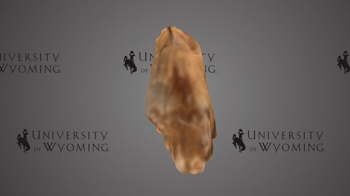
3D model
- Source
- Sketchfab
- Licence
- CC Attribution-NonCommercial
- Commercial use
- the licence does not allow it
Smithsonian Open Access was not reached for this taxon, so this list is what the others held rather than everything there is.
The description on this site
- Source
- Wikipedia, “Ischyrhiza”
- Licence
- CC BY-SA 4.0
This is what the site found, which is not the same as what exists.
Keep going
What may have been alongside itSclerorhynchidae through timeFormations of the Late CretaceousThe world it lived on
Occurrence data from the Paleobiology Database, CC BY 4.0. (Leidy 1856)